Blog
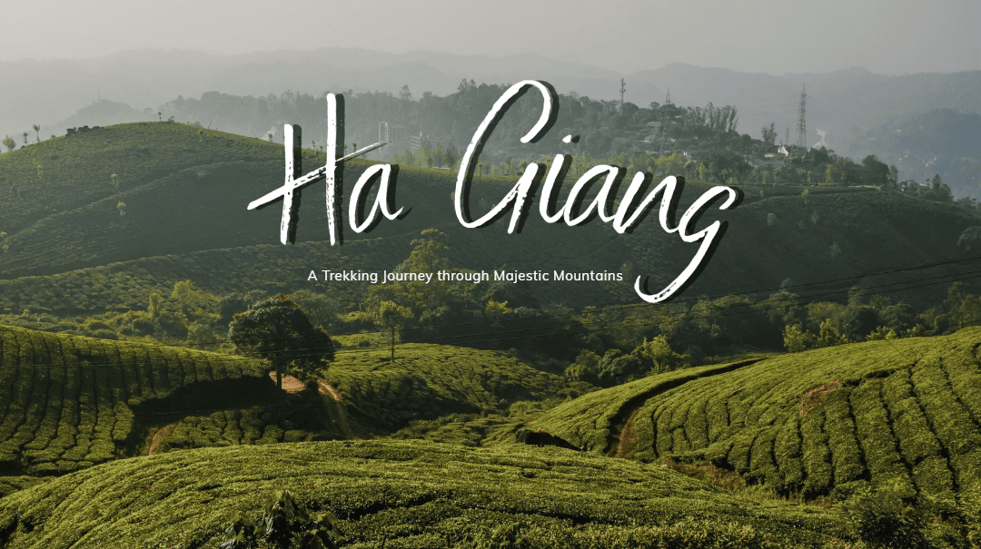
Trekking Ha Giang: Journey through Majestic Peaks
Travel to Vietnam1. Introduction
Have you ever imagined touching the clouds, standing amid a majestic rocky plateau at the northernmost tip of Việt Nam? Amid jagged cat‑ear limestone peaks, golden terraced fields, and the time‑honoured traditions of ethnic minorities that still retain a pristine breath of the wild… that is Hà Giang - the trekking paradise of Northern Việt Nam.
Trekking across Hà Giang is not merely a trip; it is an immersion in nature, culture, people, and in testing your own limits on rugged trails. With the swift Fast Track immigration service for international travellers, this journey becomes even more convenient, safe, and emotionally fulfilling.

Image source: Internet
2. A brief overview of Hà Giang
2.1 Geographical location & topography
Hà Giang Province lies at the northernmost point of Việt Nam, bordering China to the north; Cao Bằng to the east; Yên Bái and Lào Cai to the west; and Tuyên Quang to the south. Covering an area of approximately 7,884 km², the Đồng Văn Karst Plateau has been recognized by UNESCO as a Global Geopark since 2010.

Image source: Internet
Hà Giang’s complex terrain can be divided into three regions:
-
The northern karst plateau (Quản Bạ - Yên Minh - Đồng Văn - Mèo Vạc), where about 90% of the area is limestone mountains marked by cat‑ear peaks, deep gorges, and sheer cliffs.
-
The western earth‑mountain region (Hoàng Su Phì - Xín Mần), characterized by steep slopes, many high passes, and narrow valleys.
-
The lowland region (along the Lô River, Hà Giang Town, Vị Xuyên), consisting of low hills interspersed with relatively flat valleys.
The average annual temperature ranges from about 21.8°C to 23.6°C; highland areas feature temperate nuances, with harsh winters (December-January) and wetter summers (July-August).
2.2 Prominent peaks
-
Tây Côn Lĩnh: approx. 2,419 m
-
Chiêu Lầu Thi (Kiều Liêu Ti): approx. 2,402 m
-
Dozens of mountains exceed 1,500 m, with 49 summits ranging from 500-2,500 m.

Image source: Internet
2.3 Culture - Multi‑ethnic, multi‑hued
On nearly 8,000 km² live approximately 850,000 residents (2019 statistics), representing more than 19 ethnic minority groups such as the Tày, Nùng, H’Mông, Dao, Lô Lô, Pà Thẻn, Phù Lá… among whom the Tày account for over 40%, the Nùng 29-30%, and the H’Mông about 11-12%.
Ethnic culture-festivals, attire, and cuisine such as five‑colour sticky rice, thắng cố, Dao rammed‑earth houses, and Tày stilt houses-offers travellers a richly layered cultural experience.

Image source: Internet
3. Why choose trekking in Hà Giang?
3.1 Majestic nature
The Đồng Văn Karst Plateau, the Mã Pí Lèng Pass, and the Nho Quế River flowing like a green silk ribbon around towering cliffs create a grand, adventure‑laden natural stage.
Terraced fields in Hoàng Su Phì during the ripening rice season (September-October), together with the buckwheat blossom season (October-December) awash in shades of pink and white, provide unique splashes of colour that captivate trekkers.

Image source: Internet
3.2 Fewer tourists, authentic experiences
Unlike Sa Pa, Hà Giang is less commercialized; trekking routes retain their pristine character and see fewer visitors-allowing deeper connection with local cultures and serene nature.
3.3 Distinct ethnic cultures
Passing through Dao, H’Mông, and Tày villages… travellers may join local activities-rice harvesting, weaving, attending festivals, and savouring traditional cuisine. Every trekking route becomes a memorable cultural story.
3.4 Challenge yourself
Continuous trekking across rocky mountains and steep passes such as Mã Pí Lèng (approx. 1,150-1,500 m in elevation, about 20 km long) presents invigorating physical and mental challenges-ideal for those who love exploration and pushing personal limits.
3.5 Routes for every level
From gentle treks like Lũng Cú - Lô Lô Chải (~3-4 hours) for beginners; to Tây Côn Lĩnh above 2,400 m for the experienced; to Hoàng Su Phì for those who prefer terraced‑field scenery at a moderate pace-there are flexible options whether you go on a guided tour or independently.
4. Unmissable trekking routes
4.1 Hoang Su Phi
Starting from Phìn Hồ, trek through villages such as Lự Chải and Thông Huống, famed for record‑setting terraced fields-golden during September-October; followed by the ethereal white‑pink buckwheat blossoms from October-December.
The average elevation suits beginners; staying in Dao Đỏ or Tày homestays adds meaning to the journey.

Image source: Internet
4.2 Lung Cu - Lo Lo Chai: suspended amid the clouds
Setting off from the Lũng Cú Flag Tower (the northernmost point of Việt Nam, at roughly 23°13’N-only ~3 km from the absolute northern marker), you will trek along red‑earth paths through pine forests, cornfields, and upland farms. Arriving in Lô Lô Chải, you can bask in the tranquillity of ethnic life, with vast panoramas and expansive skies embracing your gaze.

Image source: Internet
4.3 Ma Pi Leng Pass - Skywalk over the Nho Quế River
This pass stretches ~20 km at altitudes of 1,150-1,500 m, clinging to the cliff face and gazing down into the Nho Quế River valley-where you marvel at nature and your own resolve against precipitous slopes.
This cloud‑kissed, cat‑ear limestone route features the “Divine Cliff” viewpoint, ideal for larger groups and adventure seekers.

Image source: Internet
4.4 Conquering Tay Con Linh (2,419 m)
The highest summit in the province, it can be trekked in a day from Cao Bồ (Vị Xuyên). The trail cuts through primeval forest, ascending to a peak with sweeping views over Hà Giang painted in the hues of flowers, foliage, and sky-especially stunning during the rhododendron bloom and the red maple season.

Image source: Internet
5. The ideal time to trek in Hà Giang
|
Season |
Months |
Highlights |
Notes |
|
Ripening rice season |
Sept - Oct |
Golden terraced fields; dry, pleasant weather |
Great conditions; easy to trek |
|
Buckwheat blossom season |
Oct - Dec |
White‑pink flowers blanketing the karst plateau |
Cold climate-pack warm clothing |
|
Spring - peach & plum |
Jan - Mar |
Vivid ethnic flower season; festive atmosphere |
Cold temperatures; some places may see frost |
|
Summer / challenge season |
Apr - Jun |
Cool in the highlands; less rain than peak rainy season |
Occasional thunderstorms still possible |
|
Rainy season |
Jul - Aug |
Slippery trails, landslide risks, fast‑flowing streams |
Not recommended for trekking at this time |
6. Essential preparation & trekking safety
6.1 What to pack
-
Warm clothing (thermal layers, windproof jacket, trekking pants) for high plateaus and the cold season
-
Sturdy, non‑slip trekking shoes; technical socks
-
A lightweight, water‑resistant backpack
-
Water, energy bars, and light snacks (nuts, compressed rations)
-
Headlamp, trekking poles if needed, and a personal first‑aid kit
-
Identification documents and travel insurance (especially for international visitors)

Image source: Internet
6.2 Safety & guidance
-
Always trek in a group or with a local guide
-
Avoid trekking late in the afternoon, especially in bad weather
-
Observe signage and be mindful of crowd density during peak seasons to avoid getting lost or encountering danger
-
Fast Track immigration provides expedited paperwork upon arrival, giving you peace of mind to begin your trek smoothly.
7. Final notes & advice for international trekkers
-
Update visa and quarantine policies: Always rely on official sources from Việt Nam’s Ministry of Foreign Affairs or government websites to avoid misinformation.
-
Choose the right time: Trek between September and December to avoid the rainy season and enjoy blooming flowers and ripening rice.
-
Select operators with local guides: Locals know the trails and culture intimately, ensuring a safe and meaningful journey.
-
Respect local culture: In Dao or H’Mông villages, avoid taking photos without permission, dress modestly, and respect customs.
Conclusion
Trekking in Hà Giang is not just a trip-it is a journey into the sublime landscapes and authentic cultures of Việt Nam’s northern frontier. With Fast Track immigration services, you will embark swiftly and conveniently, free from procedural worries. We will accompany you along every trail, delivering a trekking experience that is safe, profound, and complete. Let us lead the way, so every step becomes an unforgettable memory. Hà Giang awaits you-pristine, majestic, and endlessly inspiring. Contact us now for more detailed consultation about our services!